A really wild 48 hours out here in Forks. Wasn't the most rain I've ever seen, but the combo of lots o'rain and warm winds has got the rivers at levels we haven't seen in several years!
Wanna see an impressive rainfall total from the rainforest?? (if it drops off, it was 6.24 inches in 24 hours) And check the temp too, this is some ways up in the hills!
http://www.wrh.noaa.gov/cgi-bin/Missoula/msoobs?site=RTOM&type=2&src=rgl Took some pix around the area today for your viewing "pleasure":
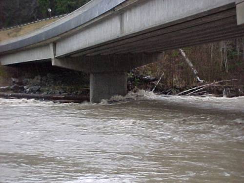
The Bogachiel under the 101 Bridge around 2 PM:

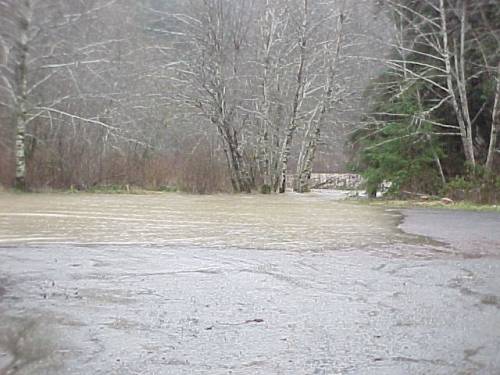
The Sol Duc entering the Whitcomb-Dimmel ramp parking area, also around 2PM ... this evening, the water was about 100 yards further up the road!

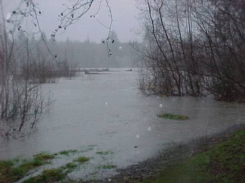
The Hoh from Cottonwood Campground lot. River here was at 27,400 cfs and a level of 13.12 feet when this pic was taken at 9:30 AM. The river peaked tonight at 43,300 cfs and 16.99 feet ... almost four feet higher, needless to say Cottonwood Campground was under water this evening.

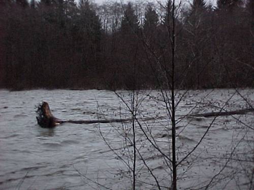
We checked the upper Hoh this afternoon, and this is what we found at the first rip-rap you come to on the Upper Hoh Road (level then was 41,000 and 16.47):

Needless to say, the rivers will be shot for a couple of days out this way. Sad to see this quite this much water as there will be some scouring of the fall salmon beds

But remember that Bill Freymund, head of Region 6 management tells me this doesn't happen. I'd like to know how the eggs survive when the place where they were depsoited that was two feet deep at spawning time is either 5 feet out of the water or 9 feet deep when it drops!!

[ 01-07-2002: Message edited by: Bob ]


 Previous Topic
 Index
Index

